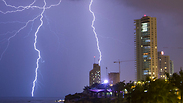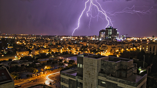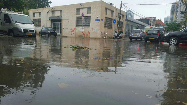
Two months have passed since the rainy season began and throughout Israel – primarily in the central areas – the amount of rainfall is particularly notable.
According to forecasting company Meteo-Tech, Ra'anana has received the most rain with no less than 239mm, 427 percent of the yearly average, as of Sunday. Since last Wednesday, the city has seen 62mm of rain.
The central region in general has starred in the precipitation table since the start of the rainy season in September. Tel Aviv has seen 170mm of rain in the last two months, which is 377 percent of the yearly average, as of November 9. In Rishon Lezion, 125mm of rain has fallen (226 percent of the average).
The Jerusalem area and Israel's south also saw more than their usual share of rain. Arad was particularly affected, with 36mm of rain – 260 percent of the yearly average.
But the biggest disappointment has in fact been the Galilee, which received only 3mm of rain in the last few days and just 15mm over the last two months. So far, the Galilee has seen only 49 percent of its yearly average.
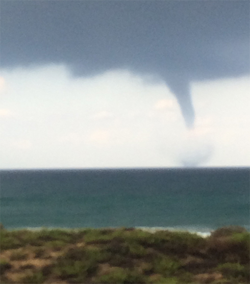
In general, northern Israel has received less than its average during the current season. In Nahariya, at least, they can be consoled with the "mini tornado" that hit the city on Sunday – which was in fact a water spout.
Tali Oz Albo, from Nahariya, said: "I filmed it from the window of my house in Nahariya, opposite the sea. It was a day of fall weather and a few drops of rain had fallen, when suddenly I saw it in front of me.
"We immediately said it was a mini tornado, not a sight we usually see in the city. The most surprising thing was that hardly any rain had fallen. It didn't feel like winter."
Nahum Malik, a meteorologist from Meteo-Tech, noted that in central and southern cities, the quantities of rain that have fallen in the last few days are equivalent to the average of half the month of November. In the north, Malik explains, the situation is rather different – less than the average quantity of rain has fallen.
According to Malik, the high level of precipitation is due to "higher than average temperatures across the Middle East at the same time as cold air descending from higher up in the atmosphere.
"There is a sharp contrast between them which, as with all such differences, the instability creates clouds that bring large amounts of rain with them," Malik added.


