Getting your Trinity Audio player ready...
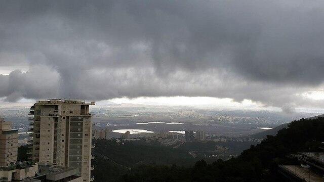
Unusually warm and dry weather was recorded across Israel on Monday, but another storm system will hit the country overnight with temperatures dropping significantly. Throughout the day the weather will be dry and misty with strong winds hitting the country and intermittent rain spreading across from the north to the center of the country. Southern parts of the country will be hit with sandstorms.
and Twitter
The Nature and Parks Authority said that starting Tuesday evening the hiking trails along the Judean Desert will be closed to visitors to due to the stormy weather.
Wednesday will see a further drop in temperatures and rainfall, accompanied by thunderstorms and gusts of wind, will spread from the northern parts of the country all the way to central Israel. The downpours bring a risk of flooding to eastern rivers, while snowfall is expected on Mount Hermon ski resort. The northern Negev will see local precipitation.
The storm is expected to reach its peak on Thursday, with heavy rains, thunderstorms and hail hitting northern and central Israel, with fears of flooding in lower regions. The south of the country will once again be hit with sandstorms with intermittent rain possible in the late hours of the evening.
The winds in the Mediterranean Sea will reach speeds of up to 90 kph (56 mph),while the waves could reach heights of up to 500 cm (16 feet). Snowstorms are expected to hit Mt. Hermon, which will spread to the rest of the northern Golan Heights.


