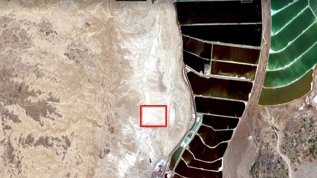
The American space agency NASA is interested in using the Amiaz plateau near the Dead Sea to calibrate satellites. A decade ago, scientists examined the option of calibrating satellites using the Ramon Crater.
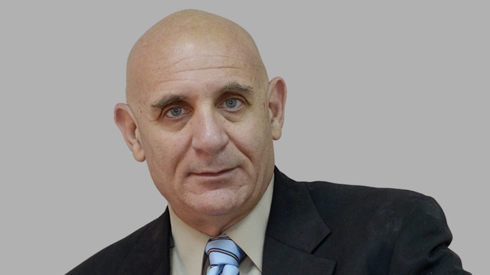
Prof. Eyal Ben-Dor, head of the remote sensing laboratory of the Geography faculty at the Porter School for the Environment and Earth Sciences at Tel Aviv University, explained that the Amiaz plateau was chosen because it is an unchanging, flat, white and desert area and is 200 meters below sea level, making the atmosphere above it ideal for calibrating the strength of the sensors on satellite cameras.
The Ramon Crater was chosen in the past due to its abundance of minerals and its magnificent colors, which enables optimal calibration of the color of the images. The aim is to calibrate a camera in the area that will then be launched to the International Space Station in 2021.
Prof. Ben-Dror will deliver a presentation on the matter at an international conference titled, "Life under extreme conditions — a lesson from nature," hosted by Tel Aviv University and the Dead Sea Research Institute, to be held this week at Masada.
Ben-Dror explains what satellite calibration is: "Every device requires calibration, and sensors on satellites are calibrated before they are launched into space. In space, the sensors age and have to be recalibrated in order to obtain coherent information during the period of the satellite's operation (5-10 years), as well as to allow for comparisons with data gleaned from other satellites.
“Because it is impossible to return the sensor to Earth for recalibration, there is a need to find an alternative method. So there are several sites in the world that have unique characteristics that are used by satellite operators for calibration, which is performed when the satellite passes over the designated area in parallel to field measurements taken by teams with ground sensors,” says Ben-Dor.
Prof. Ben-Dor explains what is so unique about the Dead Sea region plateau: "There are two calibrations — calibrating the physical values of the digital camera and calibrating the frequency of the signals. Another test often performed is the ability of the camera to attain the same picture quality at any time and with each passage."
The Amiaz plain is flat, homogenous and clear, and is about 200 meters below sea level, allowing for more gas molecules in the radiation cross-section to be measurable for frequency calibration.
The Ramon Crater is located on the same flight path of the satellite and enables a single, unambiguous test of whether the picture obtained is the repeatable under any conditions. Both locations hardly change over time and are stable over long periods of time making them ideal for satellite calibration, Ben-Dor explained.
The cameras NASA wants to calibrate in Israel are scheduled to be launched into space in 2021 when a supply capsule will be sent to the International Space Station.
"Tel Aviv University, together with the Dead Sea Research Center, is interested in working with NASA to provide the ground component of the calibration and in the future will partner with the European, Italian and German space agencies,” Prof. Ben-Dor said.


