Getting your Trinity Audio player ready...
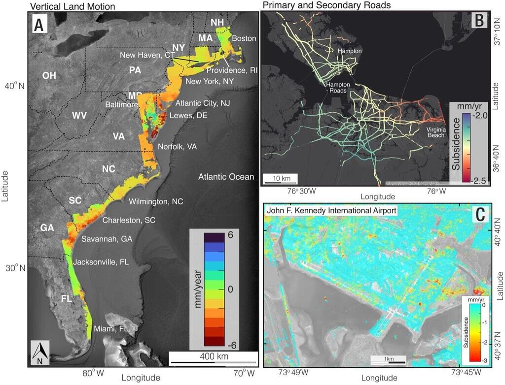
Coastal cities along the United States' Atlantic Ocean are sinking, with some areas subsiding more than 5 mm per year, outpacing the global sea-level rise, reveals a new study.
Read more:
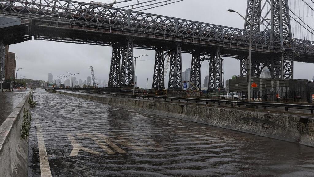
These concerning findings have far-reaching implications, as coastal areas become more vulnerable during storms or high tides. Highly populated regions like New York City, Baltimore, Virginia Beach, Norfolk and Long Island are experiencing rapid subsidence, increasing the risk to critical infrastructures such as roads, flight paths, building foundations, railway lines and pipelines.
This revelation stems from a study published in the PNAS Nexus journal, conducted by researchers from Virginia Tech University and the U.S. Geological Survey (USGS).
The researchers compiled extensive data, relying on satellite-based spaceborne interferometric synthetic-aperture radar (InSAR) imagery to create digital surface maps accurately identifying areas undergoing ground sinking, prone to potential damage to vital infrastructure. The prolonged subsidence along the U.S. East Coast is causing significant concern, especially for densely populated areas with high property density and a history of inadequate infrastructure maintenance.
The study reveals that a large portion of the U.S. East Coast is sinking at a rate of 2 mm per year or more, with specific areas along the Mid-Atlantic coast subsiding at an alarming rate exceeding 5 mm per year. This rate surpasses the global sea-level rise, measured at approximately 4 mm per year. The impacts of ground subsidence pose tangible threats affecting millions of people and properties along the East Coast.
Dr. Leonard O Ohenhen, who led the study alongside his colleague Dr. Manoochehr Shirzaei from Virginia Tech and Dr. Patrick L Barnard from the U.S. Geological Survey, argued that continuous land subsidence along the U.S. East Coast raises genuine concerns. This is particularly true for areas with high population density, numerous properties, and a history of infrastructure neglect.
3 View gallery


Maps depicting areas considered vulnerable to land subsidence on the east coast of the United States
(Photo: Leonard Ohenhen)
The researchers measured millions of cases of land subsidence over several years and, through digital mapping, identified a large area of the U.S. East Coast experiencing sinking at a rate surpassing 2 mm per year, posing a significant risk to critical infrastructures. The affected regions directly intersect with population centers and essential infrastructure, endangering critical elements such as airports, roads, railway systems, spill control facilities, and numerous buildings.
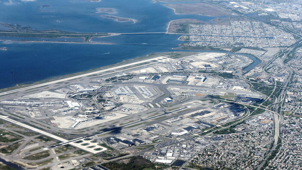
The core issue lies not only in the fact that the land is sinking but also in that the hotspots where it's happening, in reality, are population centers and infrastructure hubs. For example, substantial areas of critical infrastructure in New York, including John F. Kennedy International Airport (JFK) and LaGuardia Airport, as well as the city's operational railway systems, are affected by subsidence rates exceeding 2 mm per year. This could potentially lead to infrastructure damage and increased vulnerability to flooding, both now and in the future.
The research's significance is substantial, as land subsidence can compromise building foundations, increase the likelihood of structural collapses, and impact roads, airports, and water and gas infrastructure, intensifying the risk of coastal flooding, especially when ground sinking coincides with rising sea levels due to climate change, concluded Dr. Barnard.


