Getting your Trinity Audio player ready...
"This Jewish Day of Love carries a different significance in our current times," says Eli Yadid, Public Coordinator at KKL-JNF. "As we navigate through challenging routines and a complex period, KKL-JNF warmly invites couples to discover moments of peace and love amidst harsh realities. We hope for a return to brighter days and wish for everyone to find moments of joy and goodness together."
Zippori Stream – Shimshit Trailhead
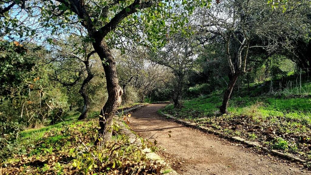
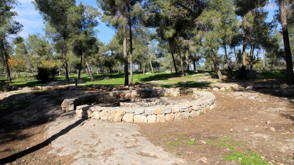
The Zippori Stream Trail begins in Zippori Forest with s 1.5 km paved path that's easy to follow and mostly shaded. It starts with a gentle ascent among Tabor oaks, passes a cave, and leads to the remains of a large rock-cut winepress. You can return via the White Trail or retrace your steps (approximately 3 km total). For a longer walk, continue along the Zippori Stream, crossing bridges and enjoying the scenery (approximately 4 km total).
About Zippori Stream: Stretching 32 km from the Nazareth Hills to Ein Yivka and eventually flowing into the Kishon River, Zippori Stream offers various stopping points and hiking spots.
The Baal Trail at the Sataf
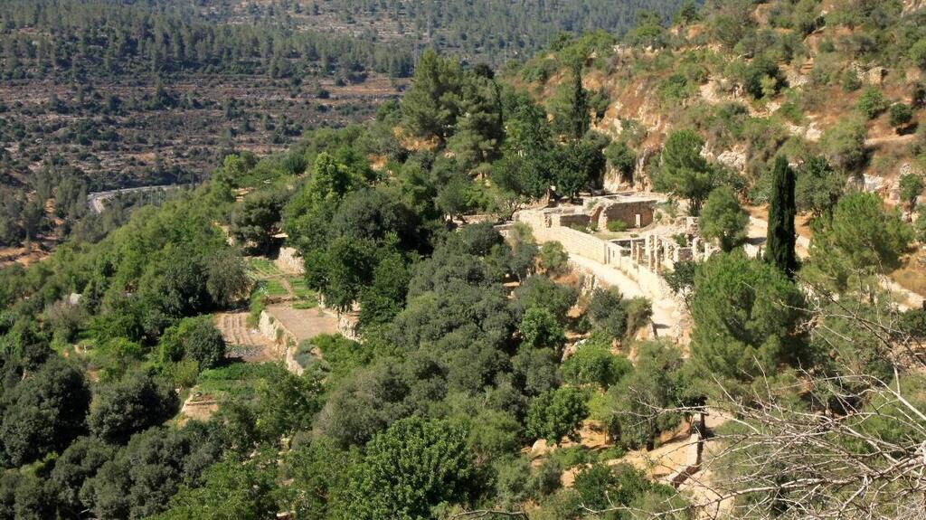
The Baal Trail at the Sataf site winds through the heart of the Jerusalem Hills, showcasing traditional agricultural landscapes preserved by KKL-JNF. The trail features a journey through irrigated plots and orchards using ancient irrigation methods. Along the way, you'll encounter almond trees in full blossom around Tu B'Shvat and can enjoy a refreshing swim in the Sataf Spring.
Starting point: Upper parking lot
Ending point: Lower parking lot
Trail length: Approximately 3 km. Marking Color: Blue
Trail type: One-way (Shorter circular route available from the middle parking lot)
Trail highlights: Water cistern, ancient residential cave, vineyard, watchtower, winepress house, and oak grove.
Martyrs (HaKedoshim) Trail
Martyrs (HaKdoshim) Trail is a one-way route descending through a mixed forest of planted and natural trees. It begins at the Scroll of Fire Monument, passes the Yemenite Jewry (Yahadut Teiman) recreation area, and ends at the B'nai B'rith Cave parking area, situated in the heart of the Kisalon Stream. The trail features a steep and challenging descent at the end.
Trail length: Approximately 3 km
Duration: About 3 hours
Trail type: One-way, downhill with an elevation drop of about 300 meters, mostly shaded.
Trail highlights: Scroll of Fire Monument, Yemenite Jewry (Yahadut Teiman) and the Anne Frank Memorial.
How to get there:
To the Scroll of Fire Monument (starting point): From the Eshtaol interchange, drive towards Kibbutz Tzova (Route 395). After about 6.5 km, at the roundabout before Moshav Ramat Raziel, turn right onto a paved road and reach the monument after 2.5 km.
To B'nai B'rith Cave (ending point): From the Eshtaol interchange, drive towards Kibbutz Tzova, and after about 100 meters, turn left (north) onto a mostly paved road (red marking) leading to the Kisalon Stream. Turn right and reach the B'nai B'rith Cave after about 2 km.
The Emperor's Road
The Emperor's Road descends from the area of the Forester’s House to the Beit HaBad Recreation Area. The trail descends over rocky terrain blooming in winter and spring, with views of a mixed forest of planted and natural trees. The trail reaches steps hewn during the Roman period and passes by a concentration of milestone stones from that era.
Trail length: Approximately 2 km
Duration: About 2 hours
Trail type: One-way, with a descent of about 220 meters. The slope to the Roman steps is steep and becomes muddy and slippery after rain. It is recommended to use walking sticks. The trail is suitable for experienced hikers.
Circular route option: Start from Beit HaBad Recreation Area, ascend the red trail to the Roman steps, climb back to the main trail, and return downhill. The route can also be done in the reverse direction. This route includes a relatively steep ascent and is suitable for experienced hikers.
How to get there:
Directions to the starting point: Accessed via a paved, green-marked road that turns off Highway no. 375, opposite the entrance to Khirbet Hanut, and leads southwards towards Mount Yaaran. After about 800 meters, on your right, you will see the signpost to the start of the trail.
The Scenic Trail at Katlav Stream
Trail length: Approximately 1.7 km
Duration: About one hour
Trail type: Short and easy circular route, generally at the same elevation. Towards the end, there is a short ascent with a height gain of about 40 meters.
Trail Highlights: Bar Giora Forest Center and Mount Giora. You can enjoy a romantic breakfast or lunch at "Bar B'Har" or order takeout and have a nice picnic at one of the nearby recreation areas.
How to get there:
The starting and ending point of the trail is Bar Giora Forest Center, between Moshav Nes Harim and Bar Giora (Route 3866). The café Bar B'Har operates daily at the site.
Ilanot Forest
In the heart of the Sharon region lies a unique forest, featuring 750 tree species from around the world. A stroll in the forest is a delight for nature lovers and an opportunity to get acquainted with extraordinary trees, some with fascinating exotic appearances. There is a visitor center dedicated entirely to trees, integrating the latest technologies in the field, and offering visitors a special experience.
How to get there:
Located on the east side of Route 4, between Dror Junction and Sharon Junction (Beit Lid Junction), accessible from both the south and north.
Opening hours: Self-guided tours from 18:00-19:00 (during the summer) or 08:00–17:00 (during the winter). Restrooms are open from 09:00-16:00.
Be'er Tuvia Forest, Azrikam Woodland – Doves Hill
Enjoy a stunning evening view from Dove Hill, overlooking Kiryat Malachi and the surrounding areas. Tucked away between Be'er Tuvia and Azrikam, this spot remains relatively unknown to the public. However, it’s a well-kept secret among locals, who know it for the youth camp of the Moshavim Movement that has made its home in the forest.
Trail highlights: Byzantine Well, Hill of Love, Dove and Cannon Viewpoint
How to get there:
Drive on Route 3 to Kiryat Malachi, turn west on Route 3703 (Yigal Horovitz Street) towards Moshav Azrikam. After passing Moshav Orot and Be'er Tuvia, continue for 4.5 km to the junction. Proceed for another 400 meters into Moshav Azrikam, with the woodland entrance on the right.
The Winepress Route
Explore the Hamalachim-Shahariya Forest, a 7,000-dunam area about 4 km east of Kiryat Gat. Named after the former Shahariya transit camp, this forest was planted by KKL-JNF with help from camp residents. It's now a peaceful spot with a short, easy trail ideal for late afternoon walks.
Trail highlights: The Herb Gardens Trail, Karua Ruins, The Lime Furnace
How to get there:
Enter the forest from Highway 35, approximately 4 km east of Kiryat Gat. A paved road leads north from the main road (Waze: Hamalachim-Shahariya).
Mitzpor Krayot in Yatir Forest
The Krayot Lookout, situated atop Mount Amsha, the highest point in the Yatir Region, offers a breathtaking panoramic view. The observation deck stands on a steep slope overlooking the Judean Desert and Arad Gully, with the majestic Moab Mountains rising across the Syria-African Rift Valley. The lookout commemorates Yitzhak Armoni, who formerly served as president of the Mount Hebron Regional Council.
How to get there:
From the Tel Arad junction (road 31) you turn to the north on Road 80. About 13 km later, the road reaches a junction with the access road to Mount Amasa. Continue for 450m more and turn right towards Sussiya. Drive about 300m to reach the observatory.


