Getting your Trinity Audio player ready...
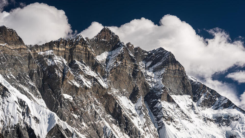
The challenge of climbing the peaks of the Himalayas, especially Mount Everest, is becoming slightly greater over time—for a simple reason: these mountains are still rising, even if only by a few millimeters each year. A similar process is occurring in the Andes Mountains of South America and the Rocky Mountains of western North America.
In contrast, the Ural Mountains and the Appalachian Mountains are gradually getting lower over time. Uplift and subsidence are measured across vast areas of the planet, not just in mountainous regions. For example, parts of Canada are rising by several millimeters per year on average, and even the continent of Antarctica is slowly rising.
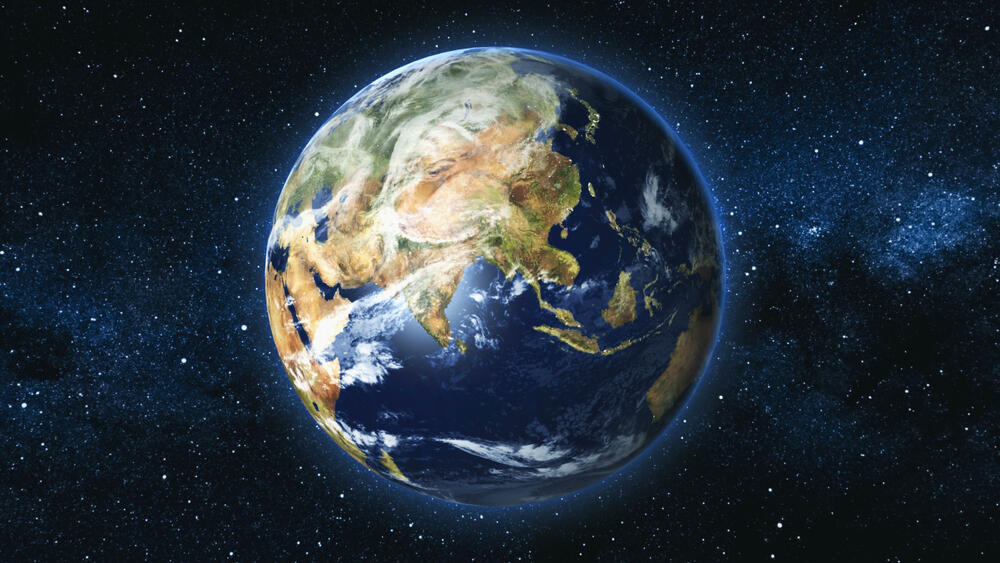
This dynamic nature of Earth reflects the fact that the continents—seemingly stable and anchored—are actually more like rafts floating atop a viscous layer beneath the crust. As early as the 17th century, the English philosopher Francis Bacon noted that the edges of Earth’s continents fit together like pieces of a puzzle. For instance, the western coast of southern Africa aligns closely with the eastern coast of South America, and the northern part of West Africa matches the contours of the Caribbean region in Central America.
In the 20th century, German meteorologist Alfred Wegener expanded on these observations with his theory of continental drift. He proposed that all the continents were once joined in a single vast supercontinent, which he called Pangaea (from the Greek for “all lands”). Over time, this landmass broke apart, and its fragments gradually drifted away from each other across the globe.
This idea of continental separation laid the foundation for the theory of plate tectonics, which holds that Earth’s solid outer layer - the crust - is divided into several massive plates, along with a few smaller ones. These plates carry the continents and oceans and float atop a layer of molten rock called magma.
Get the Ynetnews app on your smartphone: Google Play: https://bit.ly/4eJ37pE | Apple App Store: https://bit.ly/3ZL7iNv
Always on the move
Today, the idea that continents move is well established, but in Wegener’s time it was met with skepticism—and even ridicule. Humans, who live at a much faster pace than geological time, found it difficult to grasp the notion that we live on ground that is constantly moving, even if that movement is extremely slow.
Moreover, Wegener lacked the evidence and scientific understanding needed to explain the mechanism driving the continents. Later in the century, geologists and geophysicists were able to demonstrate the existence of a viscous layer of magma beneath the Earth’s crust, on which the continents float—thereby providing an explanation for their motion.
One consequence of tectonic plates moving over a flexible layer is that they sometimes collide, leading to large-scale geological phenomena. Mount Everest, for example, was formed by the collision of the Indian Plate with the Eurasian Plate. This collision generates immense pressure that continues to push the ground upward, which is why the mountain rises by about half a centimeter each year.
However, the peaks of the Himalayas also undergo constant weathering due to wind and rain. Changes in mountain height are the result of these two opposing forces, and in the case of the Himalayas, the uplift outpaces the erosion. Geologists believe that mountain ranges cannot continue to rise forever. According to their calculations, other forces on Earth—such as gravity—limit mountain height and prevent further uplift beyond a certain point.
Interestingly, other mountains formed by plate collisions are actually losing height. One example is the Ural Mountains in Russia, which once experienced similar tectonic activity to the Himalayas but are no longer affected by such processes.
As a result, erosion is gradually lowering their elevation. The end of tectonic collision can stem from various factors, such as shifts in plate movement direction or a weakening of the forces that drive them. In such cases, a new equilibrium is formed, and the collision comes to a halt.
The laws of buoyancy
Another consequence of plate movement is that it determines the elevation of the continents themselves in relation to the layer beneath them. Since Earth’s crustal plates float on a viscous layer of molten rock, they obey the laws of buoyancy.
This is similar to how a rubber duck floats in a bathtub or a metal figurine sinks to the bottom. The extent to which a continent "floats" or "sinks" depends on its mass and density relative to the underlying material—just as a cargo ship sits lower in the water when heavily loaded.
This explains why the densest and heaviest parts of the continents—those made of basalt rock—lie lower in elevation than regions composed mainly of granite, which has a lower specific weight and therefore “floats” higher.
Continents continuously adjust their position to maintain isostatic balance, the state of equilibrium between the weight of the crust and the upward buoyant force from the mantle. When weight is removed—such as through erosion or the melting of glaciers at the end of ice ages, continents rise higher.
The uplift of certain regions in Canada, for instance, is the result of the significant retreat of glaciers that once covered vast areas during the last Ice Age. In the western Alps, tectonic activity is minimal: although erosion gradually wears the mountains down, isostatic compensation lifts them back up, maintaining a relatively stable elevation. In contrast, erosion in the eastern Alps is more rapid, and the mountains there are gradually losing height.
A recent study examined the uplift of Antarctica, driven by the ongoing loss of glacier mass. Researchers estimate that this gradual rise—caused by the melting of ice—could influence sea levels. According to the study, this uplift could contribute to a sea level rise of up to twenty meters.
Recognizing that Earth is dynamic and constantly evolving—and studying the processes behind these changes—allows us to better anticipate and prepare for shifts that could impact our lives now and in the more distant future. Monitoring the speed and direction of plate movements, as well as identifying tectonically active regions, can help protect human life, conserve natural resources, and safeguard the environment.


