Getting your Trinity Audio player ready...
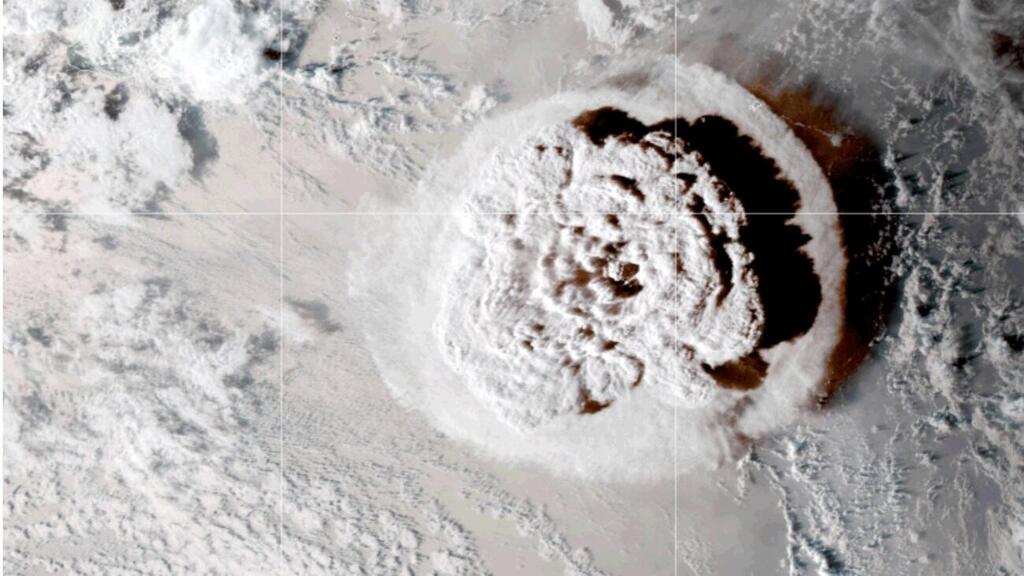
The Hunga Tonga seamount eruption
(Video: Reuters)
Some 19,000 previously unknown underwater volcanoes have been discovered in oceans around the world using data from satellite missions, a new study recently reported.
Related stories:
The research was conducted by a team from the Scripps Institution of Oceanography in the United States, one of the oldest and largest ocean and earth science research centers in the world, alongside the Chungnam National University in South Korea and the University of Hawaii.
The ocean floor, like land surfaces, has varied topography that includes mountain ranges that rise above the surface. In the ocean, they are called seamounts and are typically formed by active or dormant underwater volcanoes that rise from the seabed to a depth of 1,000 meters - 4,000 meters, such as Hunga Tonga or the Vailulu'u seamounts.
Both land and sea mountains are formed by tectonic plates moving against each other or by the eruption of underwater volcanoes. Currently, only a quarter of the seabed has been explored, which means that no one is sure of how many seamounts exist or where they may be located.
This can be a problem for submarines. That is because, in the past, submarines or ships have collided with seamounts, posing a risk to both the marine vessel and its crew, like the accident in the Muirfield Seamount - named after the ship that collided with it in 1973.
However, the unknown locations of seamounts present another problem, because it prevents oceanographers from creating a model that describes ocean currents around the world.
In the new study, published in the Earth and Space Science journal, researchers set out to discover and map a large number of seamounts.
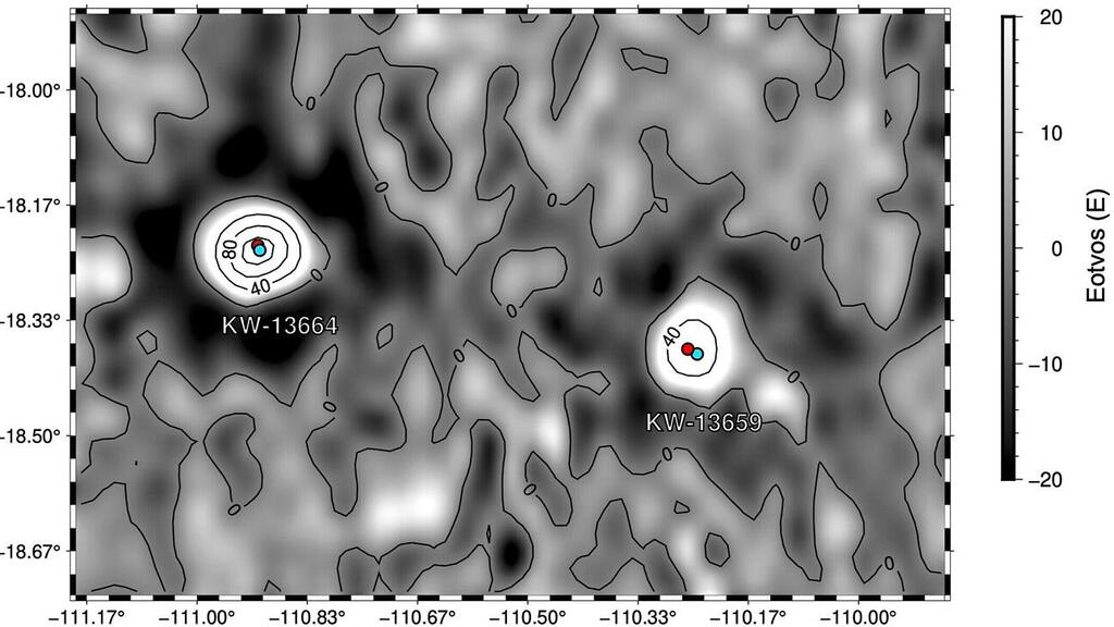
To do this, they relied on data from satellite altimetry, which can’t see the seamounts themselves but can measure the ocean’s surface height, which varies constantly due to changes in gravitational attraction related to the seafloor’s topography.
Using this method, researchers discovered 19,000 seamounts that had never been discovered before. Additionally, researchers have noted that other important reasons for mapping the ocean floor relate to assisting in deep-sea mining efforts, since the sea floor contains a large amount of rare minerals also found on land.
More complete seamounts maps may help geologists better understand Earth’s tectonic plates and magnetic field. Furthermore, some of the underwater mountains also provide habitats for a vast array of marine life, including corals and other sea organisms.
The seamounts' greatest significance derives from their very strong influence over ocean currents. When currents flow through the mountains, they are pushed upward, carrying cooler water and mixing it with the warmer waters closer to the surface.
Therefore, mapping such currents has become more important in an era of global warming and frequent climate change, as the oceans absorb more heat and carbon dioxide from the atmosphere and from the melting of glaciers.


