Getting your Trinity Audio player ready...
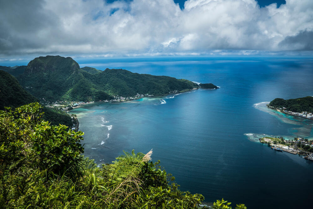
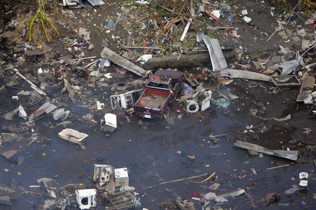
On September 29, 2009, a powerful earthquake measuring 8.1 in magnitude occurred near American Samoa, Samoa and Tonga, leading to a destructive tsunami that inflicted significant harm to lives and damage to property. Additionally, this intense seismic activity exacerbated an existing concern in American Samoa: land subsidence - or downward movement of the earth's surface, combined with a modest rise in sea levels, amplifying the threat faced by small islands in general and particularly impacting approximately the 45,000 inhabitants of American Samoa.
Read more:
Jeanne M. Sauber, staff geophysicist from NASA Goddard Space Flight Center in Maryland, says protecting against island submersion requires conducting reliable measurements of land subsidence and its exact occurrence.
From a historical perspective, measuring land subsidence on small tropical islands has been challenging for two main reasons. First, these islands often have limited resources for detailed ground measurements, and second, the dense cloud cover and thick vegetation make acquiring accurate satellite data difficult.
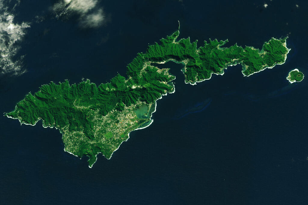
Taking Tutuila Island in American Samoa as a case study, a group of researchers from NASA's Goddard Space Flight Center released a study in the peer-reviewed "Geophysical Research Letters" journal last year.
They recorded alterations in the terrain of the compact island, intending to extend this methodology to other vulnerable small islands prone to seismic activity. Their findings revealed that merging satellite and terrestrial observations could significantly advance thorough land mapping for such regions.
The study's findings revealed that Tutuila Island experienced an annual average subsidence of 6 mm to 9 mm between 2015 and 2022, compared to a pre-2009 earthquake subsidence of 1 mm to 2 mm per year. Unlike many other satellite-based methods, the researchers used InSAR technology, which can penetrate clouds and dense vegetation, allowing them to accurately measure the relative height and changes in the land. They also incorporated satellite altimetry data to estimate ocean levels, connecting them with measurements from the tide gauge station in Pago Pago, the capital of American Samoa.
In the context of remote islands, one challenge is assessing land subsidence and understanding how the movements of these islands might be influenced by the broader tectonic plate movement. Researchers used GPS measurements from Tutuila Island's station to monitor its movement rate across different global locations, thereby observing the impact of the Pacific Plate's motion, in conjunction with the Australian Plate, on land subsidence in this part of the western Pacific Ocean.
The process of subduction, when one tectonic plate slips beneath another, has taken place along the Tonga Trench, an oceanic trench situated in the Pacific Ocean. This trench extends to the east of Tonga, south of American Samoa, and north of the Kermadec Trench, which divides it from the northern island of New Zealand. This geological phenomenon frequently leads to earthquakes, causing vertical shifts in the island's terrain and contributing to changes in the land composition.
Based on the progression observed, geophysicist Richard Ray from NASA's Goddard Space Flight Center presented the assertion that rising sea levels exacerbate the issue, particularly as the relative sea level on Tutuila Island increases by a factor of five compared to the global average. He explained that even a minute increase in millimeters might not seem significant in isolation, but over time it evolves into a serious and concerning problem.
Many islands globally are facing the challenge of rising sea levels, mirroring the situation of Tutuila Island. The researchers intend to utilize the lessons learned from this study to strategize for the future protection of these islands and their residents. This includes potential cooperation between NASA and the UN to address coastal resilience, particularly aiming to safeguard the populations of small islands.


