Getting your Trinity Audio player ready...
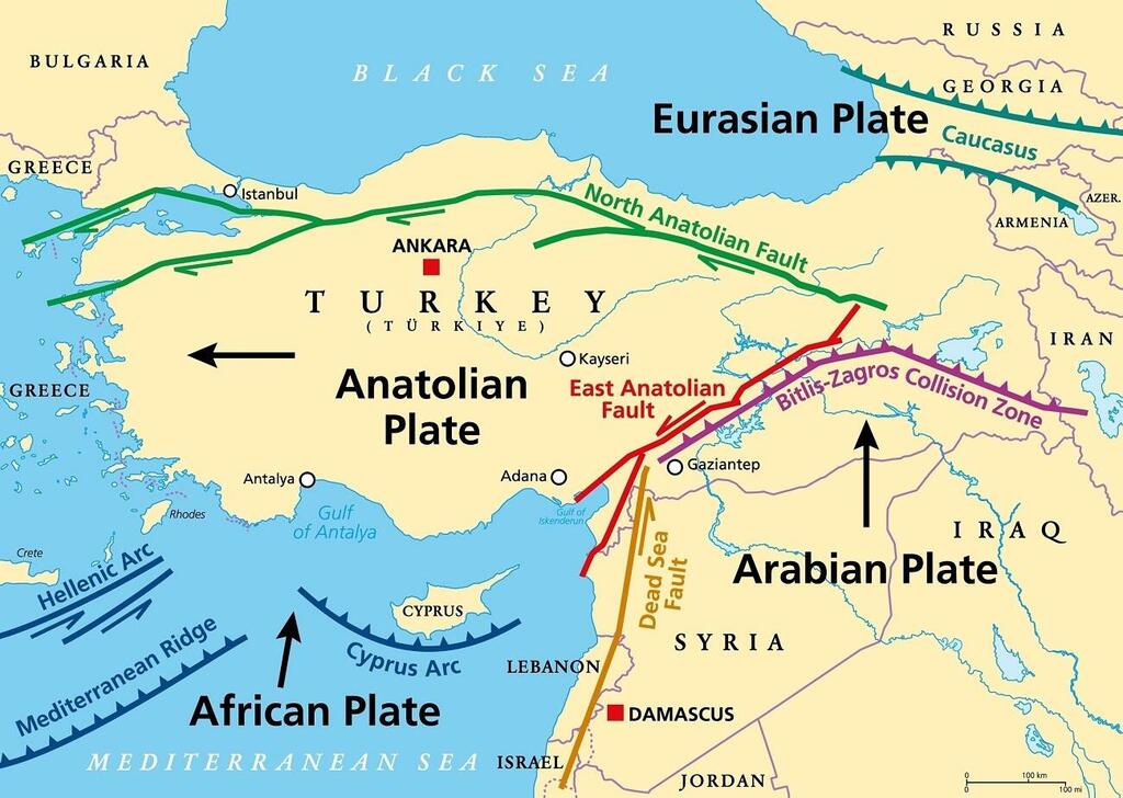
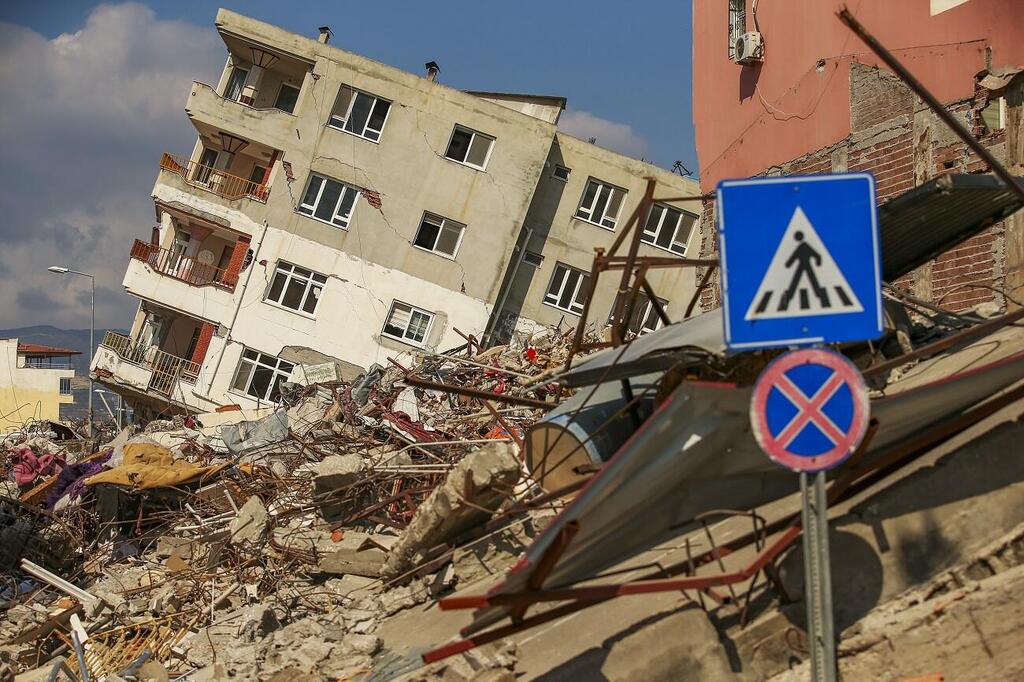
A team led by the University of Minnesota Twin Cities has successfully determined the age and formation process of the East Anatolian fault, a significant fault line in Turkey. This fault played a role in the formation of the Anatolian tectonic plate and was responsible for two destructive earthquakes in February 2023.
While this study does not provide insights into predicting future earthquakes, it does offer valuable information about the history of seismic activity in the region. By understanding the length of time the area has been prone to earthquakes and how these powerful events have shaped the landscape over time, geologists can make informed decisions regarding infrastructure and residential development.
The research paper was published in Geology, a peer-reviewed journal that focuses on the study of the Earth's geosciences, published by the Geological Society of America.
To put it plainly, When the massive tectonic plates that make up the Earth's surface move, they create cracks known as faults. As these plates shift, stress accumulates, and when that stress is released, it results in the earthquakes that we feel on the Earth's surface.
“There are lots of tectonic plates in the world,” explained Donna Whitney, lead author of the paper and a Distinguished McKnight University Professor at the University of Minnesota N.H. Winchell School of Earth and Environmental Sciences.
“They've changed shape and size and position over time, but we very seldom get to see one form," she said. "The Anatolian plate formed fairly recently in a geological sense, so the processes that formed it are easier for us to deduce from studying the geology. There's been a lot of debate about the age of the Anatolian plate and the East Anatolian fault, but we were able to show with our data that it likely formed five million years ago.”
Whitney and her team started investigating the Anatolian plate in 2011 when they noticed that the middle part of the plate, which is not usually active, was showing signs of deformation, similar to what happens at the edges of plates. Then, about five million years ago, there was a big shift. From that point on, most of the movement in the plate was concentrated in two major faults that cause powerful earthquakes: the North Anatolian Fault and the East Anatolian Fault.
“Knowing the seismic history of this area is really important for anticipating disasters related to the way that people interact with the landscape,” Whitney said. “We can't predict that there's going to be a magnitude ‘X’ earthquake on this fault at a certain time, but we can get a sense of the fault’s activity in the past, how big the events have been, and how much fault motion has affected the landscape. We need to understand these structures because people live near them, and there's infrastructure near them.”


