Getting your Trinity Audio player ready...
Two years after the Israel National Trail was shortened, cutting out its northern segment between Kibbutz Dan and Tel Hai, the trail is expected to be extended by 40 kilometers, making Mount Hermon the new starting point.
Read more:
The trail marking team of Israel's Society for the Protection of Nature has already begun marking the new route in a project estimated to take several months.
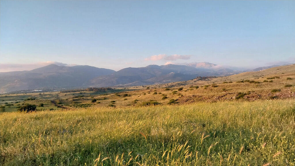
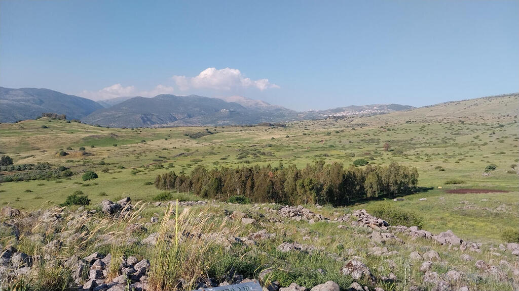
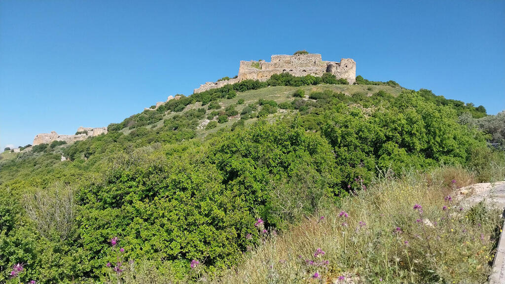
The current aim is that the new route will begin at Mount Hermon, descend to the Hula Valley via Neve Ativ, pass by Nimrod Fortress, Nabi Hazuri, and Nahal Hermon - just south of Kibbutz Snir and She'ar Yashuv, bypass the Hermon Stream Nature Reserve through Givat HaEm, and lead to the Kfar Sold Forest where camping will be allowed.
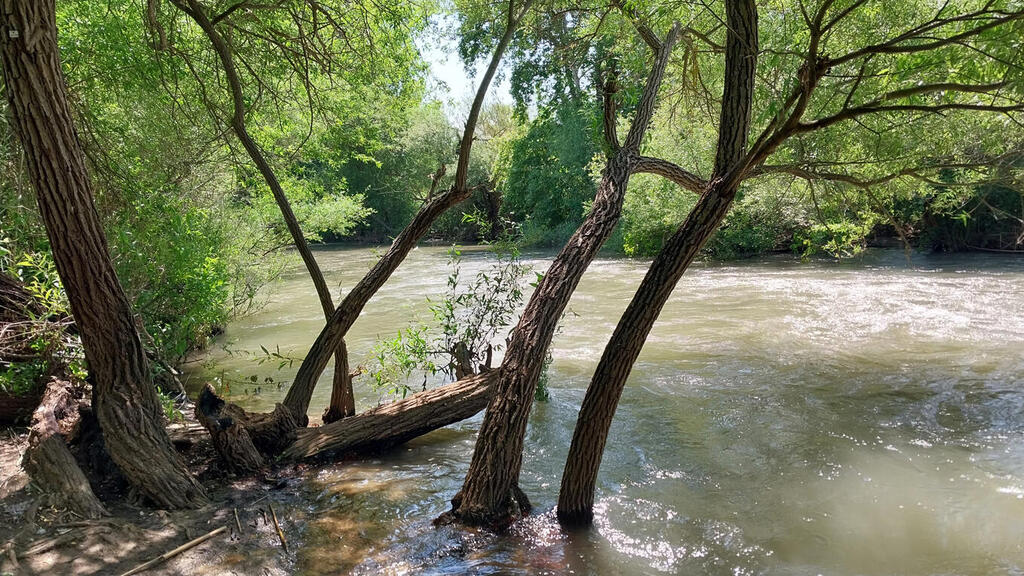
Onward from the camping site, the trail will continue to the promenade along Nahal Hermon, until the Yosef Bridge above the Jordan River. From there, the trail will go on to Kiryat Shmona through the "Tayelet HaTzo'adim" (Walkway of the Pioneers). It will cross the city until the "Roaring Lion" monument, where it will connect to the existing trail from Tel Hai south. In the segment within Kiryat Shmona, the trail is expected to pass through significant urban nature sites such as Ein Zahav Stream, HaZahav Park, and Kakal Park.
The Israel Trails Committee began the project to re-mark the northern part of the Israel National Trail and determine its beginning/endpoint at Mount Hermon, answering the requests from many hikers. Many trail enthusiasts start or finish their journey at Mount Hermon anyway, wanting to get closer to the northern tip of the country and experience the unique beauty of nature and landscapes in the area.
"One Hiker wrote a letter to the committee saying the proper end of the trail in the north is undoubtedly the ascend to Mount Hermon." Shavit Sa'ar Veksler, the manager of the Trail Marking Unit at the Society for the Protection of Nature, told Ynet. "We have seen many hikers in recent years who start or finish the Israel National Trail there but since there is no marking directing them, hikers choose their own path in an area with hidden land mines and other risks," she said.
"Efforts have been made in the past two years to locate a route that would depart from Mount Hermon and connect to the existing trail, which would include both crossing options and overnight accommodations. Kiryat Shmona has also expressed a desire for the trail to pass through it."
7 View gallery
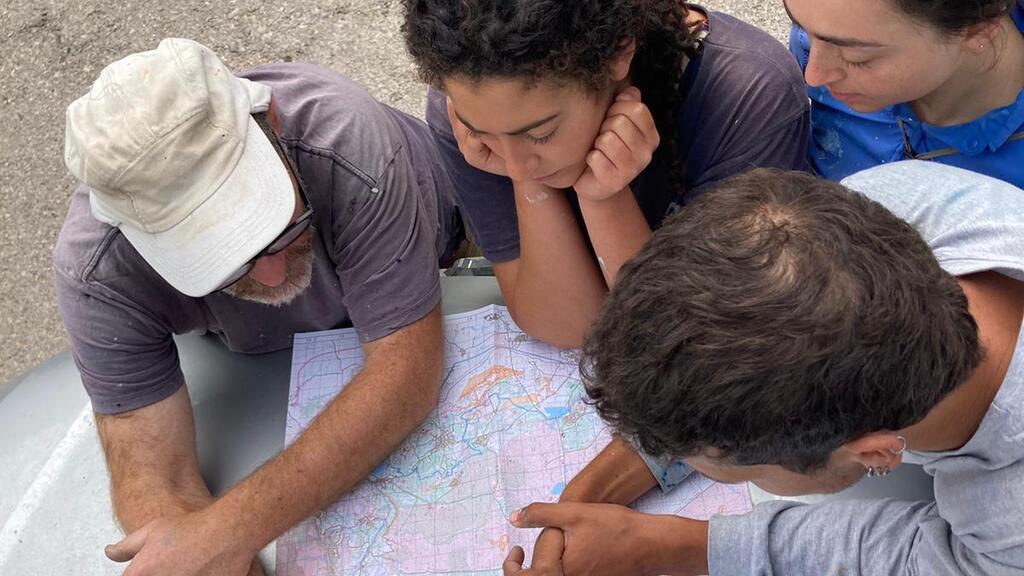

Marking the new trail segment
(Photo: Mai Emoyal, Israel Society for the Protection of Nature)
"The challenge of locating a safe, interesting, and continuous trail in this specified region was not simple," Itzik Ben-Dov, the Trails Marking Coordinator said. "It required taking into consideration road crossing, agricultural areas, nature reserves, minefields, firing zones, residential areas, and other obstacles."
However, Ben-Dov notes that "field conditions can slightly alter the plans, and only upon completing the marking process, with the release of official maps, will hikers be able to traverse the trail in its entirety—from Mount Hermon in the north to Eilat in the south."
7 View gallery
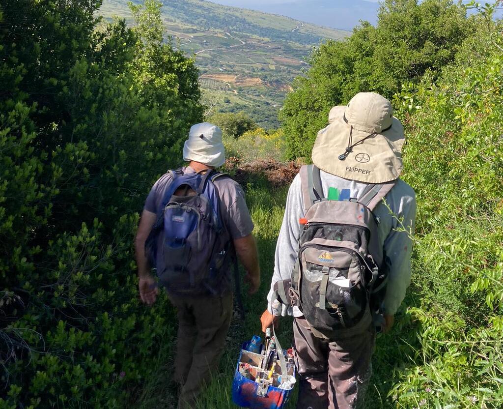

Marking the new trail segment
(Photo: Mai Emoyal, Israel Society for the Protection of Nature)
Currently, prior to the official extension of the trail, the length of the Israel National Trail is approximately 1,052 kilometers. It passes through Upper Galilee, Lower Galilee, Mount Carmel, along the coastline, Tel Aviv, the outskirts of Jerusalem, the Judean Desert, the Negev, and in the Arava, ending in the southernmost city of Eilat. The trail is marked with three colors - white, blue, and orange.


