Getting your Trinity Audio player ready...
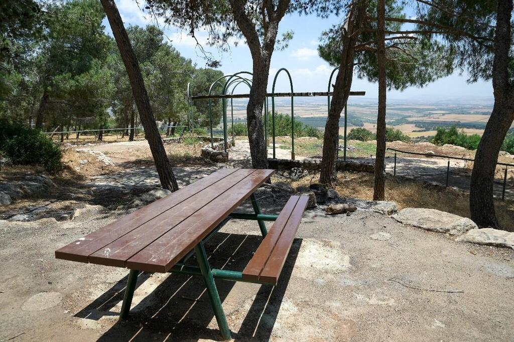
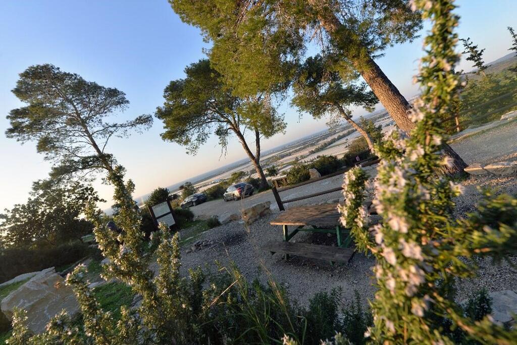
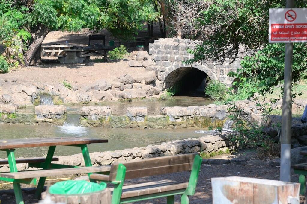
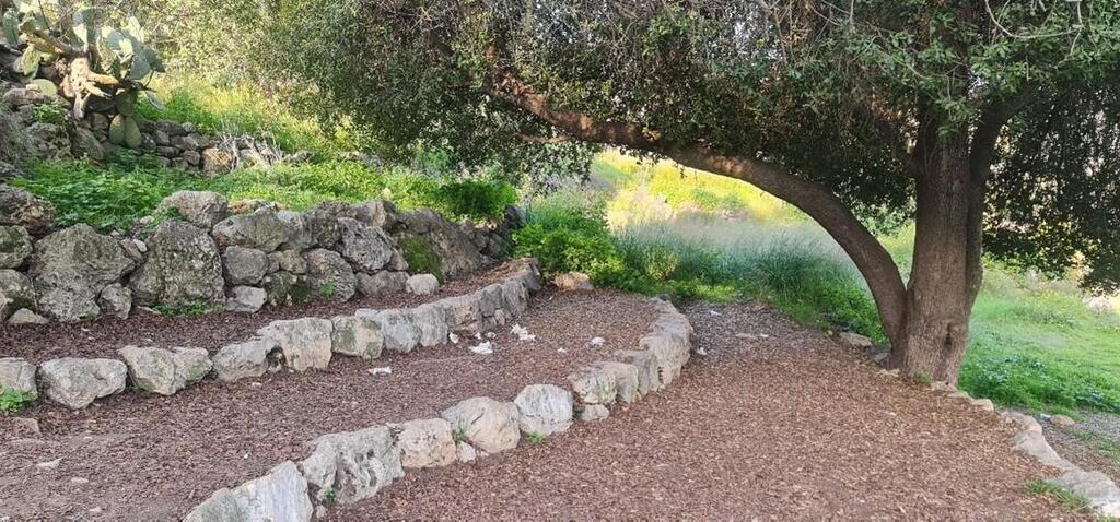
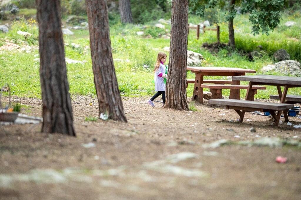
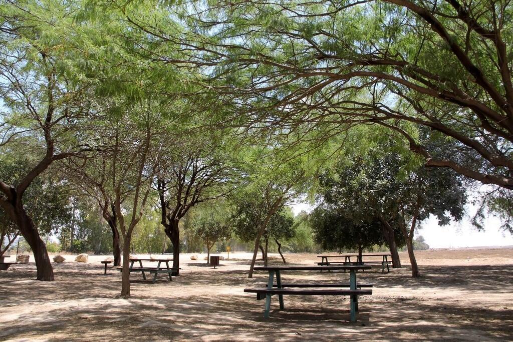
Each year, on June 18, people around the world celebrate International Picnic Day. For Israelis, it's the perfect chance to enjoy scenic sites throughout the country.
Eli Yedid, leisure and recreation manager at KKL-JNF invites picnickers "to visit our forests across the country and enjoy a picnic in nature. Take a stroll, have fun, and remember to keep our forests clean for everyone to enjoy."
Northern Region:
Through the forest landscape of Beit Keshet
Along the Beit Keshet Forest and Churchill Forest, there is a scenic road spanning about 19 km. Along the way, the KKL-JNF has installed several parking lots.
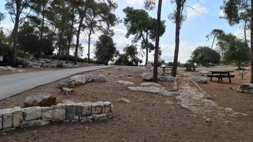
Forester's House parking lot – A large parking lot with picnic tables, some of which are accessible. From the parking lot, a short path leads down to the Forester's House.
The Great Oak Parking Lot – A large parking lot with picnic tables, some of which are accessible. From the parking lot, there is a trekking trail—a hiking path that winds through impressive stone rocks.
How to get there:
• From the gate of the Shimshon military base, located approximately 2 km west of Golani Junction.
• From the access road to Kibbutz Beit Keshet (Waze: Rainbow House Forest).
Hof HaCarmel Forest
Two parking lots are well-kept parking areas located near trails with spectacular views.
The first parking lot – accessible from the old coastal road (Route 4, between Km 182-183 markers). Turn east toward the Meirav Center. Before entering the center, turn left, go up the road, and connect with the scenic road.
The second parking lot – can be accessed from the old coastal road (Route 4). Turn east at Ofer Junction onto the access road to Moshav Kerem Maharal (Route 7021). Drive two kilometers, and before reaching the Moshav, turn north (left) following the sign directing to the scenic road (marked in green). The road is comfortable and suitable for any vehicle.
Jordan Park and the Jordan River
Jordan Park is the perfect spot for a family outing, offering bike trails, group activities, and nature adventures. Located in the Bethsaida Valley on the east bank of the river near the Sea of Galilee, the park combines fascinating historical sites with unique scenery. During the summertime, the riverbanks bloom with pink oleander flowers and blackberry bushes. The park features short, marked hiking trails, highlighting flour mills, aqueducts, and vibrant river vegetation. It also offers a well-equipped campground with designated sleeping area, a large Bedouin tent, an RV park, hot showers and restrooms.
Mountain Region:
U.S. Independence Park
Independence Park, covering 30,000 dunams in the southwestern Jerusalem Hills, was created by the KKL-JNF in 1976 to mark the American bicentennial. It features picnic spots, recreational areas, and scenic viewpoints offering stunning views of the Jerusalem Mountains and nearby lowlands. Visitors can explore trails leading to lookout points, springs, groves, and historic sites.
How to get there:
Western entrance gate - For those traveling from Beit Shemesh, take Route 3855 to Mahsiya Junction, then turn east onto Route 3866 and ascend Mount Yaala.
Eastern entrance gate - From the Ein Kerem neighborhood, head to Kerem junction, then take Route 386 along Nahal Sorek until you reach the junction with Road 3866 near Bar Giora.
Southern entrance gate – From Hala junction, take Route 375 towards Tzur Hadassah and Bar Giora. Alternatively, drive from Emek Ella towards Beit Shemesh (Route 3855) to reach the western entrance gate.
Aminadav Forest
Surrounding Jerusalem are hills, including the Salman-Sorek Ridge to the west. KKL-JNF planted the expansive Aminadav Forest here, spanning about 7,000 dunams. This forest, blending planted and natural trees, is Jerusalem's largest open space. Visitors enjoy picnic areas, walking trails, and bike paths. Near Hurvat Saadim, in the central campground, KKL-JNF has accessible trails for people with disabilities. The forest boasts beautiful springs, ancient agricultural terraces, and historical remnants like wine and olive presses scattered throughout.
How to get there:
For visitors coming from Jerusalem, proceed past Mount Herzl and take the access road to Ein Kerem. Turn left at the intersection leading to Moshavim Ora and Aminadav. Yad Kennedy is situated approximately 500 meters west of Moshav Aminadav. Please note that the Yad Kennedy site is closed for renovations, but the forest remains open to visitors.
For those arriving from Tel Aviv, turn west (right) at the Harel interchange from the Tel Aviv-Jerusalem Road (Route 1). Continue driving to Hastaf Square and then proceed to Hadassah Ein Kerem Hospital. From there, follow the route to the entrance of Moshav Ora.
Britannia Park
Britannia Park is nestled in the Judean Lowlands, offering breathtaking views of hills dotted with planted forests, natural woodlands, and historic sites. Spanning 40,000 dunams, it's a popular destination for hikers and nature enthusiasts. Developed by KKL-JNF with support from British Jewry, the park enhances life in Israel and strengthens ties with the global Jewish community. Enjoy designated hiker parking lots throughout the park, perfect for picnics and hikes to Tel Azzaka, Horvat Shekelon, and Mitzpe Massuah.
How to get there:
The primary access points to the park include:
• Northern entrance gate - Access from Route 383, near the Km 17 marker, approximately 1.4 km west of Tel Azqa junction.
• Sarigim parking lot - Entry from Route 353.
• Mitzpe Massuah - Entrance from Highway 38, close to the Km 7 marker, roughly half a kilometer south of Sarigim Junction.
Sataf Springs in the Jerusalem Hills
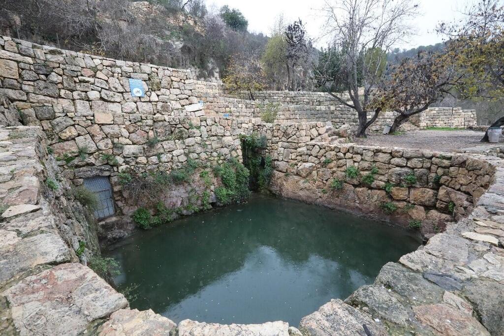
The Sataf Springs, located west of Jerusalem on Mount Eitan's eastern slope, offers a scenic mix of mountain forests, springs, reservoirs, archaeological sites, ancient terraces, orchards, and irrigation channels. Water flows from rock crevices into reservoirs, sustaining vibrant gardens and orchards. Ein Sataf and Ein Bikura were central to the ancient village, with Ein Sataf flowing from a natural cave accessible for exploration, while Ein Bikura, the lower spring, also originates from a carved rock crevice, featuring stalactites and stalagmites in its cave system and reservoirs.
South:
Ofakim Park
Ofakim Forest, spanning 500 dunams on the city's outskirts, offers accessible amenities and scenic roads to attractions like Hammer Fortress. Planted by KKL-JNF in 1978, it's part of the ongoing Heart of the Park project, transforming it into a vibrant leisure hub.
Central Parking:
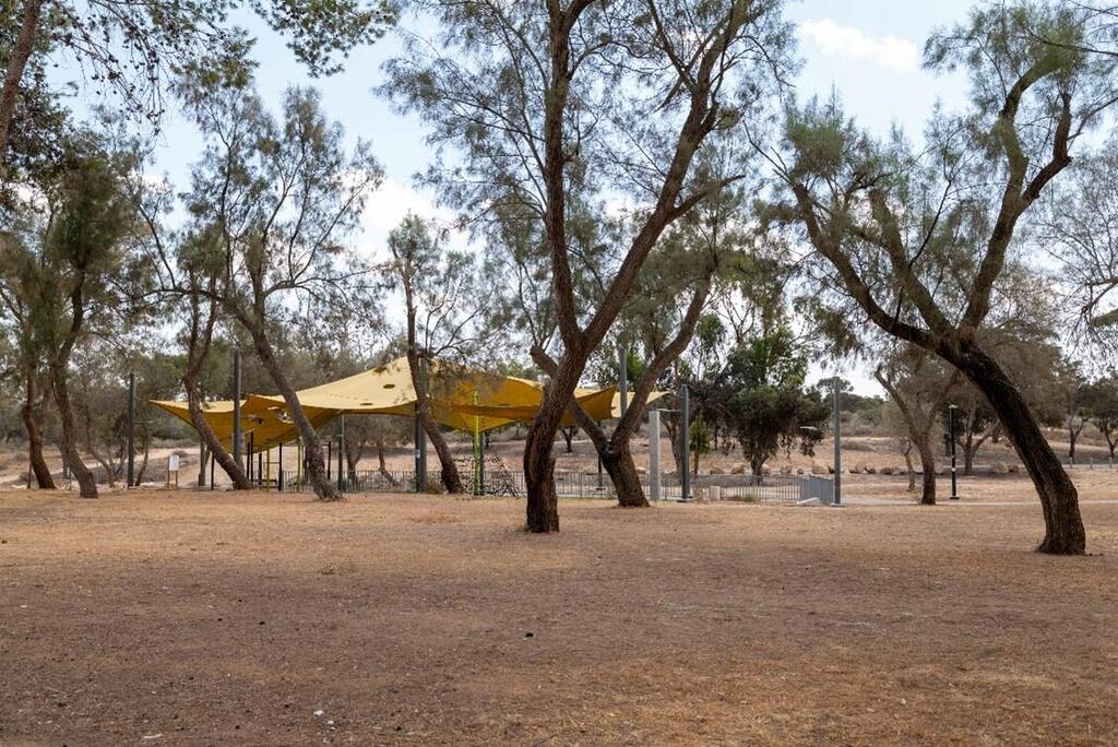
Enter the park to discover a grove of resilient Ashel trees welcoming visitors. Just a short 300-meter drive along the paved road leads to the central parking lot, flanking both sides.
How to Get There:
From Be'er Sheva, take Route 25 to Gilat Junction, then head west on Route 241 towards Ofakim. Once in Ofakim, drive south on the main street and follow signs to the park at the city's outskirts.
Travelers from Tel Aviv can reach the park by driving to Yad Mordechai Junction, then through Sderot and Netivot on Route 34 and Route 25 to Gilat Junction.
Nahal Gerer Chain Park
Gerer River Chain Park is a green oasis in the western Negev, planted along the Gerar Stream, a tributary of the HaBesor Stream. It boasts scenic paths, bike trails, and well-equipped picnic spots. Nearby, Tel Haror offers a historical viewpoint with panoramic vistas. The main 10 km trail starts at the forest entrance, crosses the Gerar Stream, and rewinds through picturesque routes marked with blue arrows, perfect for exploration and relaxation in nature.
How to get there:
The entrance to the forest is from Route 25, between Netivot Junction and Gilat Junction, opposite the entrance to Moshav Tidhar, between Kilometer Markers 205 and 206.


